| Accession Number | RC11577.2041 |
|---|---|
| Map call number | G8100 s50 |
| Collection type | Published Collection |
| Record type | Item |
| Item count | 1 |
| Object type | Map |
| Maker |
2/1 Australian Army Topographical Survey Company |
| Date made | June 1945 |
| Conflict |
Second World War, 1939-1945 |
| Copying Provisions | Digital format and content protected by copyright. Non-commercial use permitted. |
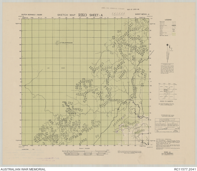
Riko, sheet A, sketch map : Borneo 1:50,000, sheet 66/XXII-A
Description
A single sheet from the topographical map series (SWPA T731) covering the area around the village of Sepan, west of Riko, near Balikpapan, in Dutch Borneo (now the Indonesian province of Kalimantan Timur). Shows Sepan village and isolated buildings, main road and tracks, rivers and streams, vegetation and terrain features. Relief shown by hachures. "ICO/MISC/7586". "0110-E11628/10 (Greenwich)". Includes legend, glossary and index to sheets. compilation, 2/1 Aust Army Topo Svy Coy, Aust Svy Corps ... ; reproduction ... June '45.