| Accession Number | RC11577.1664 |
|---|---|
| Map call number | G8140 s25 H957 |
| Collection type | Published Collection |
| Record type | Item |
| Item count | 1 |
| Object type | Map |
| Maker |
2/1 Australian Army Topographical Survey Company |
| Date made | June 1943 |
| Conflict |
Second World War, 1939-1945 |
| Copying Provisions | Digital format and content protected by copyright. Non-commercial use permitted. |
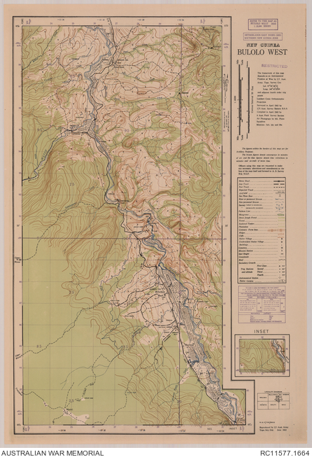
Bulolo west : New Guinea 1:25 000
Description
A single sheet from the New Guinea 1:25 000 topographical map series covering the area around town of Bulolo, Morobe province, Papua New Guinea. Shows the Bulolo River, dredges, sluices and tailings, water races, tanks, populated places, isolated buildings, airfields, power line and power houses, sawmill, rifle range, swimming pools, camps, road and tracks, gardens and other vegetation and terrain features. Relief shown by contours and spot heights. "NGF/701/3503". Includes inset, legend and locality diagram. Compiled in April 1943 by 8 Aust. Field Survey Section ; reproduced by 2/1 Aust Army Topo. Svy Coy, June 1943.