| Accession Number | RC11577.1949 |
|---|---|
| Map call number | G8070.M2 |
| Collection type | Published Collection |
| Record type | Item |
| Item count | 1 |
| Object type | Map |
| Maker |
US Army |
| Date made | 1942 |
| Conflict |
Second World War, 1939-1945 |
| Copying Provisions | Digital format and content protected by copyright. Non-commercial use permitted. |
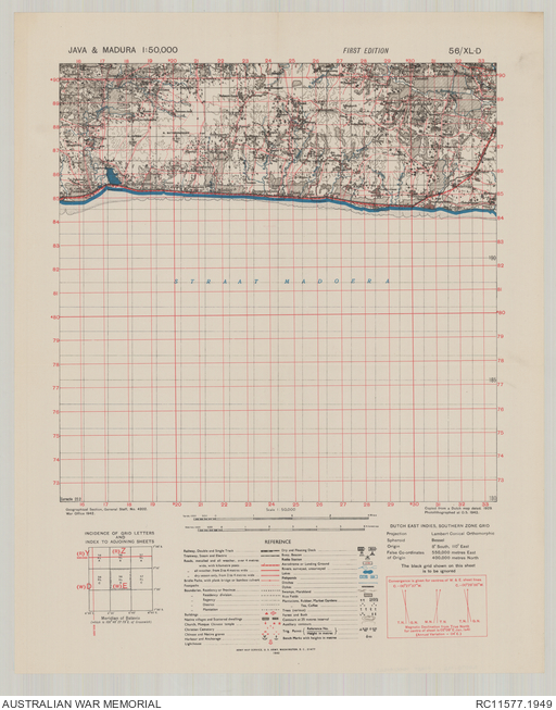
Java & Madura 1:50,000, 56/XL-D
Description
A single sheet from the topographical map series covering the area around the town of Tlanakan, in the south central part of Madura Island, Indonesia. Shows the Madura Strait coastline, populated places, main road with kilometre posts, other roads and tracks, railway, cemeteries, rivers and streams, rice fields, and other vegetation and terrain features. Relief shown by contours and spot heights. "Copied from a Dutch map dated 1929. Photolithographed at O.S., 1942". "Geographical Section, General Staff, no. 4202". Includes legend and index to adjoining sheets. Geographical Section, General Staff, War Office ; Army Map Service, U.S. Army.