| Accession Number | RC11577.1999 |
|---|---|
| Map call number | G8033.S3 s50 |
| Collection type | Published Collection |
| Record type | Item |
| Item count | 1 |
| Object type | Map |
| Maker |
L.H.Q. Cartographic Coy., Aust. Survey Corps. |
| Date made | April 1945 |
| Conflict |
Second World War, 1939-1945 |
| Copying Provisions | Digital format and content protected by copyright. Non-commercial use permitted. |
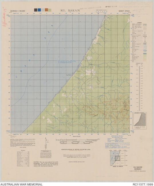
Kg. Bakam [Kampong Bakam] : Borneo 1:50,000, sheet 2743-I
Description
A single sheet from the topographical map series (T731) covering the area around the coastal village of Kampong Bakam in the east Malaysian state of Sarawak. Shows the South China Sea coastline, sea depths, motor transport track along the beach, populated places and isolated buildings, roads, tracks, rivers and streams, vegetation features, the Lambir Hills and other terrain features. Relief shown by form lines, spot heights, bathymetric soundings and isolines. "L.H.Q./032/3156". Includes legend, glossary, index to sheets, and reliability diagram. drawing & reproduction [by] LHQ Cartographic Coy., Aust. Svy. Corps, Apr. 1945.